 Tap & Hunt™
Can I hunt here?
Tap and know.
Tap any spot on the map and Tap & Hunt checks the land, the law and the calendar for that exact spot, then gives you a straight answer.
Minnesota · Wisconsin · North Dakota · South Dakota
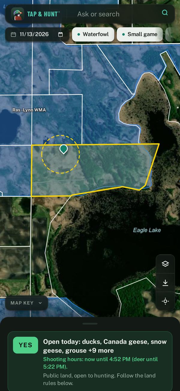
Everything you check before a hunt, in one tap
Hunters usually piece this together from state websites, PDFs and plat books. Tap & Hunt pulls it from official state and federal data and answers for the spot and date you pick.
Public land
WMAs, WPAs, state and national forests, county forests, school trust land and more, with names on the map.
Who owns it
Property lines and owner mailing addresses where counties share them, plus a Find owner online button so you can ask for permission.
Walk-in land
Minnesota Walk-In Access, North Dakota PLOTS, and Wisconsin open Managed Forest Law and VPA land.
Seasons and limits
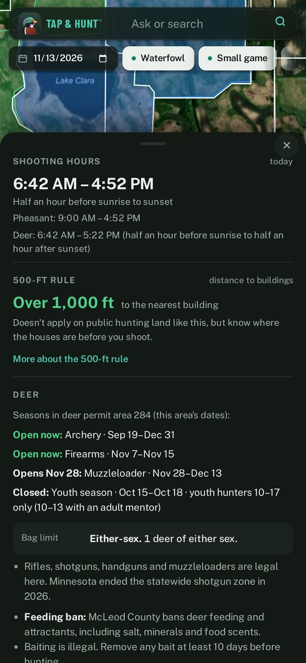
Every season open on the date you pick, with bag limits, for waterfowl, small game, deer and furbearers.
Shooting hours
Exact times for that spot and day, including deer hours and special rules like North Dakota's 2 p.m. goose close.
Deer zones
Minnesota deer permit areas, Wisconsin deer management units and North Dakota deer units right on the map.
Building setbacks
Minnesota's 500 ft, Wisconsin's 100 yards, North Dakota's 440 yards and South Dakota's 660 ft, with nearby buildings shown.
City limits
Know when you've crossed into a city, and which cities allow hunting and where.
Works offline
Save areas before you go and get answers with no cell service (Minnesota for now).
See it in action
Real screens from the app.
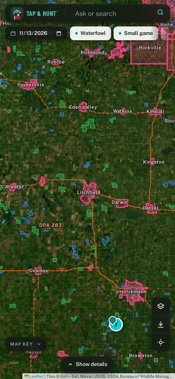
Where it works
Minnesota, Wisconsin, North Dakota and South Dakota. Property owner info depends on what each county shares; the app tells you plainly when a county doesn't.
Not a hunter?
Walkers, runners and dog owners use Tap & Hunt too: see where public hunting land is and which seasons are open, so you know where hunters might be and when to wear blaze orange.
About us
Tap & Hunt is made by Tap & Hunt LLC, a small Minnesota company built by a Minnesota hunter. No ads, no tracking and no account needed.
Questions, corrections or a county we're missing? Email taphuntapp@gmail.com.
Where the data comes from
- Minnesota DNR and Minnesota Geospatial Commons
- Wisconsin DNR and the Wisconsin State Cartographer's Office
- North Dakota Game and Fish and the North Dakota GIS Hub
- South Dakota Game, Fish and Parks
- USGS, U.S. Census Bureau, U.S. Fish & Wildlife Service and the National Weather Service
Tap & Hunt is not affiliated with any government agency. It's a guide, not legal advice: always follow posted signs and the official state regulations.